The forecast on your phone is a miracle, and it is wrong all the time
Every morning, your phone tells you the temperature, the chance of rain, and the wind speed for a place the size of your street, ten days into the future. That is an extraordinary claim, and the fact that it is usually right is one of the quiet triumphs of modern science. It is also wrong often enough that we all have a story about the picnic that got rained on, and the forecast that promised sun while the sky fell apart.
I wanted to know why both of those things are true — why forecasts are so good now, and why they still fail. So I traced the whole journey: from the satellites and balloons that measure the sky, through the supercomputers that simulate the atmosphere, to the AI models that are now rewriting the rules. What I found is a system that has improved by about a day and a half of accuracy per decade for thirty years, and is now changing faster than at any point in its history.
Step one: measuring the sky
Every forecast starts with the same problem: you cannot predict the atmosphere if you do not know what it looks like right now. And "right now" means the whole planet, in three dimensions, at the same moment. The observing system that does this is one of the largest machines humanity has ever built, and most of it is invisible.
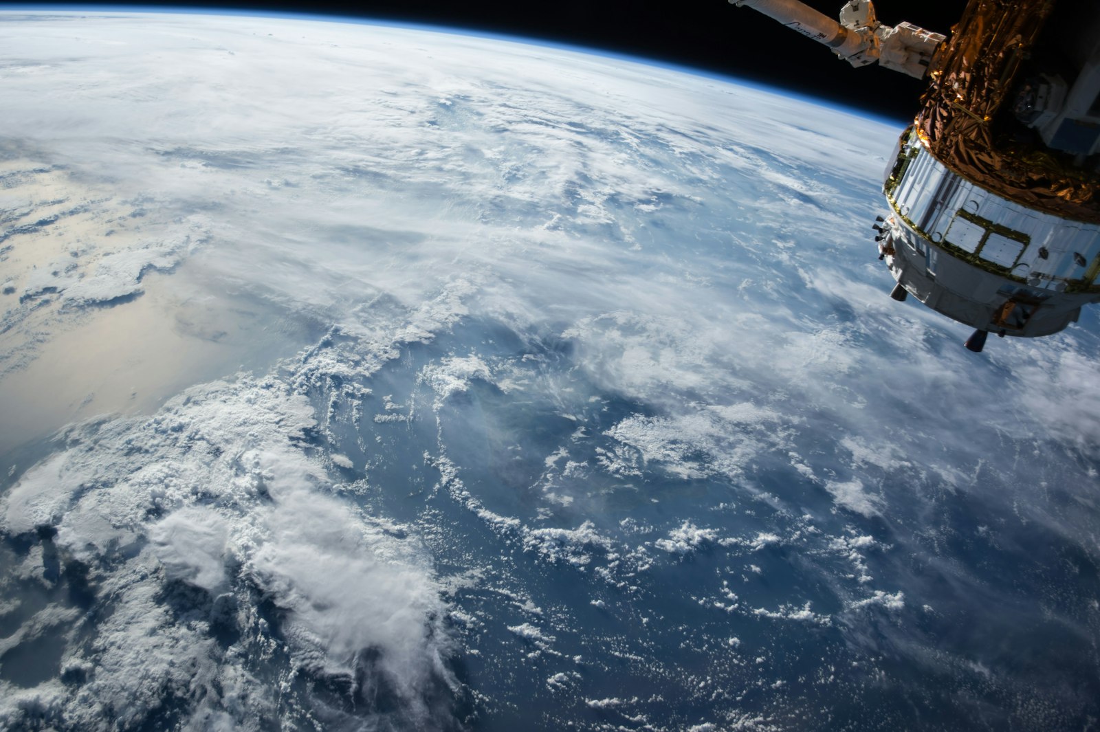
Satellites do the heavy lifting. Geostationary satellites sit over one spot and watch clouds develop in real time. Polar-orbiting satellites sweep the whole planet, measuring temperature and humidity through the atmosphere, sea surface temperatures, ice cover, and more. Below them, weather balloons rise twice a day from hundreds of stations, radioing back temperature, humidity, and wind as they climb. Commercial aircraft report conditions automatically as they fly. Ships, buoys, and ocean sensors cover the seas. Ground stations, radar networks, and — increasingly — millions of personal weather stations fill in the gaps.
All of that data flows into weather centres, where the first job is to build a single coherent picture of the atmosphere right now. That picture is called the analysis, and it is harder than it sounds, because the observations are messy: a satellite reading disagrees with a balloon reading, a station is in a valley, a sensor is drifting. The centres run a short-range forecast backwards, in effect, to smooth the observations into one consistent snapshot. Forecast quality depends on this step more than any other. A forecast built on a wrong picture of today will be wrong about tomorrow, no matter how good the model is.
Step two: the physics models
Once the centres know what the atmosphere looks like now, they simulate what it will do next. That is numerical weather prediction, and it is one of the oldest uses of supercomputing in the world. The atmosphere is divided into a three-dimensional grid, and the laws of physics — how air moves, how heat flows, how water evaporates and condenses — are calculated for every cell, step by step, into the future.
The two big names are the European model and the American one. The European Centre for Medium-Range Weather Forecasts, the ECMWF, runs its Integrated Forecasting System, the IFS, at 9-kilometre resolution, with an ensemble of 51 slightly different forecasts — one control run and 50 perturbed members — that shows the range of possible outcomes. The American Global Forecast System, the GFS, run by NOAA, is the other major global model. National services run their own higher-resolution models for their own countries.
These models are astonishingly expensive to run. A single high-resolution forecast takes about an hour on more than 11,000 processor cores. But they work. The ECMWF says the lead time of its skilful ensemble forecasts has grown by about a day and a half per decade over thirty years. A five-day forecast today is about as accurate as a three-day forecast was in the 1990s. That is the trend your weather app is riding on.
Step three: the AI models arrive
Then, in about three years, everything changed. The first sign was GraphCast, from Google DeepMind, published in Science in November 2023. It was trained on four decades of ECMWF's ERA5 reanalysis data — the historical record of the atmosphere, built from observations using traditional forecasting — and it learned to predict the weather the way a language model learns language: by finding patterns in enormous amounts of data. Tested on 2018, GraphCast had a smaller error than the ECMWF's high-resolution physics model on 90.3 percent of 1,380 scored targets, and it produced a ten-day forecast in under a minute on a single machine. The physics model takes about an hour on a supercomputer.
GenCast, DeepMind's probabilistic follow-up, published in Nature in December 2024, went further: it gives a whole set of possible futures at once, like an ensemble, and it beat the ECMWF's ensemble on 97.2 percent of 1,320 targets tested on 2019 data. Google's newest model, WeatherNext 3, launched on September 3, 2026, learns directly from live satellite data, gives hourly forecasts with a grid as fine as 5 kilometres for temperature and humidity, and now powers weather in Google Search, Gemini, and Google Maps. Google says its rain forecasts improved by up to 60 percent on one measure — though those are Google's own figures, and they should be read as such.
The public weather centres moved fast too. The ECMWF put its own AI system, AIFS, into operation on February 25, 2025, running four times a day alongside the physics model, with the ensemble version following on July 1, 2025. Version 2 arrived on May 12, 2026, adding the centre's first AI ocean-wave and snow-cover forecasts. NOAA deployed its AI-driven global models on December 17, 2025, built from GraphCast and trained further on its own data. The ECMWF says an AIFS forecast uses about a thousandth of the energy of a physics forecast. NOAA says one 16-day forecast from its AI model needs just 0.3 percent of the computing power of the classic model, and is ready in about 40 minutes.
What AI still gets wrong
Here is the part the headlines usually skip: the AI models are not better at everything, and the people who run them will tell you so. The honest picture, from the centres themselves and from independent testing, has three big caveats.
First, extremes get smoothed. AI models learn averages very well, so the very highest rainfall or wind peaks can come out too gentle. That matters most exactly when the forecast matters most — a flash flood, a hurricane's peak winds. NOAA says its first AI model improves hurricane tracks but is weaker on intensity. The World Meteorological Organization has noted that big challenges remain for local high-impact weather.
Second, the detail is coarser. The ECMWF's AI ensemble runs on a 28 to 31 kilometre grid, against 9 kilometres for its physics ensemble. For fine local detail — a valley, a coastline, a city — the physics model is still essential.
Independent testing backs up the nuance. A study that compared four models across eight American cities through the summer of 2026 found that, after adjusting for local bias, the ECMWF's AI model had the smallest typical error at every lead time — about 1.6 degrees Fahrenheit one day out, 3.2 degrees a week out — but all four models struggled with rain, especially the biggest downpours, either missing them or warning of storms that never came. The models are close. None of them is magic.
Why your forecast is still wrong sometimes
So why did it rain on my picnic? The honest answer is a mix of three things, and understanding them makes the forecast more useful instead of less.
First, chaos. The atmosphere is a chaotic system, which means tiny differences in today's conditions grow into large differences over days. That is why the ensemble exists, and why a forecast five days out is a probability, not a promise. A "30 percent chance of rain" does not mean it will rain 30 percent of the time. It means that, in 30 percent of the model's possible futures, it rains at your location. Most people read it wrong, and most apps do a bad job of explaining it.
Second, scale. Your street is smaller than a grid cell in most global models. A shower that hits your neighbourhood and misses the next one is below the resolution of the forecast, and it always will be until models get much finer — which is exactly what WeatherNext 3's 5-kilometre grid is trying to fix. Third, local effects. Hills, coasts, cities, and lakes all bend the weather in ways that global models approximate and local knowledge catches. That is why a local forecaster, or a neighbour who has watched the sky for thirty years, sometimes beats the app.
Conclusion
Your forecast starts with satellites, balloons, buoys, and stations building a snapshot of the atmosphere, runs through physics supercomputers that simulate the future in three dimensions, and increasingly comes from AI models — GraphCast, GenCast, AIFS, WeatherNext — that learned from forty years of weather history and now beat the physics models on many measures, using a fraction of the energy. But the AI still depends on the physics, still smooths the extremes, and still cannot see your street. A forecast is a probability, not a promise, and the ensemble spread is the honest part. The science has improved by a day and a half of accuracy per decade for thirty years, and it is improving faster now than ever. It will still rain on a picnic sometimes. That is not a failure of the forecast. That is the atmosphere being the atmosphere.
FAQ
How does weather forecasting work?
Observations from satellites, balloons, aircraft, buoys, and ground stations build a snapshot of the atmosphere right now. Physics models then simulate how that atmosphere will evolve, step by step, into the future. AI models now do the same job by learning patterns from decades of past weather data.
What is the difference between ECMWF and GFS?
They are the two main global forecast models. ECMWF's IFS runs at 9-kilometre resolution with a 51-member ensemble and is widely regarded as the most accurate global model for medium-range forecasts. NOAA's GFS is the American global model. Most weather apps use one or both, often blended with other models.
What is GraphCast and GenCast?
GraphCast is Google DeepMind's AI weather model, published in 2023, which beat the ECMWF's physics model on 90.3 percent of 1,380 test targets. GenCast is its probabilistic successor, which beat the ECMWF ensemble on 97.2 percent of 1,320 targets. Google's WeatherNext 3, launched September 2026, now powers weather in Google Search, Gemini, and Maps.
Are AI weather forecasts better than traditional ones?
On many measures, yes — and they use far less computing power. But they smooth extreme values, run on coarser grids, and still depend on the traditional observing and physics system for their starting data and training. The centres run AI and physics side by side, and the best forecasts combine both.
What does a 30 percent chance of rain actually mean?
It means that in 30 percent of the model's possible futures — the ensemble members — it rains at your location. It is a probability across possible outcomes, not a prediction that it will rain 30 percent of the time or over 30 percent of the area.
Why are long-range forecasts less accurate?
The atmosphere is chaotic, so small errors in today's snapshot grow over time. The ECMWF estimates skilful forecast lead time has improved by about a day and a half per decade over thirty years, but beyond about ten days, the honest answer is a trend, not a forecast.